We believe that creating and maintaining current and comprehensive geospatial information is critical to understanding, planning, and management of our oceans. To ensure alignment with customer licensing preferences, and to maintain internal GIS best practices, we leverage ArcGIS, the world’s most comprehensive array of geospatial technology for peak geospatial performance.
From the traditional desktop workhorse tools available in ArcGIS Pro as well as the mobile data collection and verification apps, to ArcGIS Online and ArcGIS Hub Initiatives, CPC provides support and solutions to gather, analyze, visualize, and communicate critical and timely geospatial information.
ArcGIS Hub Implementation, Architecture, and Management
ArcGIS Online Map and App Development
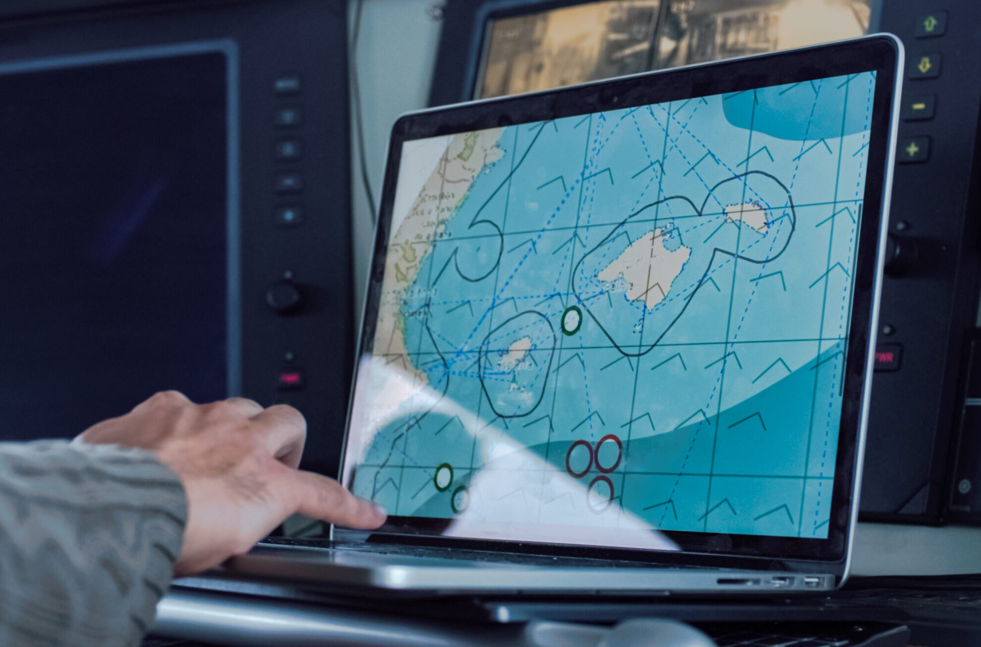
ArcGIS for Maritime Bathymetry
ArcGIS Online Map and App Development
Remote, Real-time, and Mobile Services
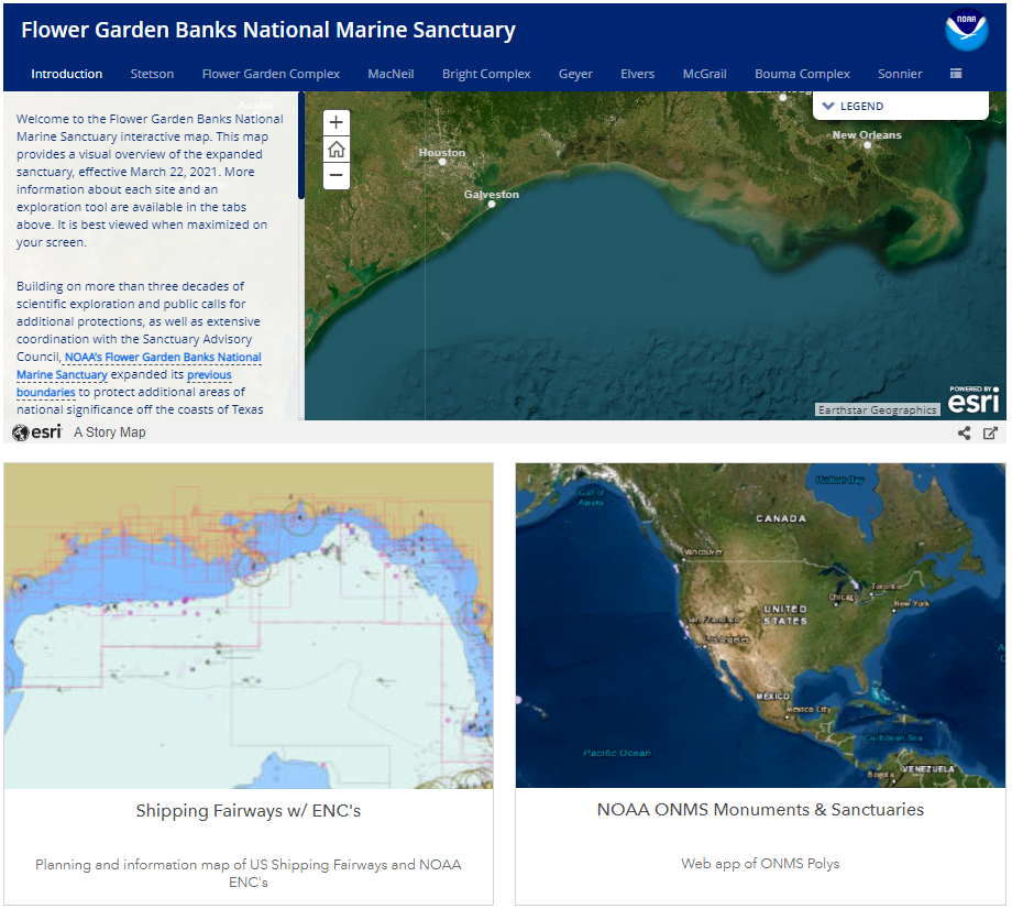
We can monitor ocean drones under a hurricane or in harmful alga blooms, and create StoryMaps to communicate the science behind NOAA National Marine Sanctuary management.
As members of the Esri Business Partner Program, CPC also provides architectural and project planning services, as well as data sharing and workflow assistance for contributions to authoritative resources in The Living Atlas of The World.